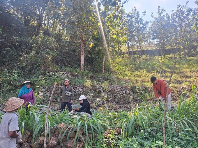
From June to August, a research team from the Graduate School of Universitas Gadjah Mada (UGM) led by Bayu Dwi Apri Nugroho, STP, M.Agr., Ph.D, IPU, ASEAN Eng.. conducted research on the assessment of land potential in the doline valley in the Gunungsewu karst area to support agricultural development of karst and karstic areas. This research was funded by the UGM Graduate School Lecturer Research Grant in 2024.
Gunungkidul karst area is considered marginal due to limited water which causes suboptimal agricultural cultivation. This condition has a direct impact on the local economy and threatens local
food security. However, the doline valley in this area has potential to be developed to support sustainable agriculture in karst areas.
The research aims to assess the potential of dolines using a pedogeomorphological approach with the ASW-approach method, which considers three main parameters: accessibility, soil, and water. The results are expected to be utilized by stakeholders to maximize land productivity in Gunungkidul, improve the local economy, and strengthen food security. The objectives of this study are in line with the Sustainable Development Goals (SDGs) 1 (no poverty), 2 (zero hunger), 10 (reduced inequalities), and 11 (sustainable cities and communities). The results showed that 52% (13,032 ha) of land at the valley of the doline in the study area has high potential for agriculture, especially in the central part of the study area which has good road access and close to settlements. Around 37% (9,232 ha) has medium potential, and 12% (2,950 ha) has low potential. This study highlights the importance of accessibility for the success of agriculture in hilly karst areas, which affects the distribution of agricultural inputs and labour mobility as well as rainwater harvesting on agricultural land in anticipation of drought.
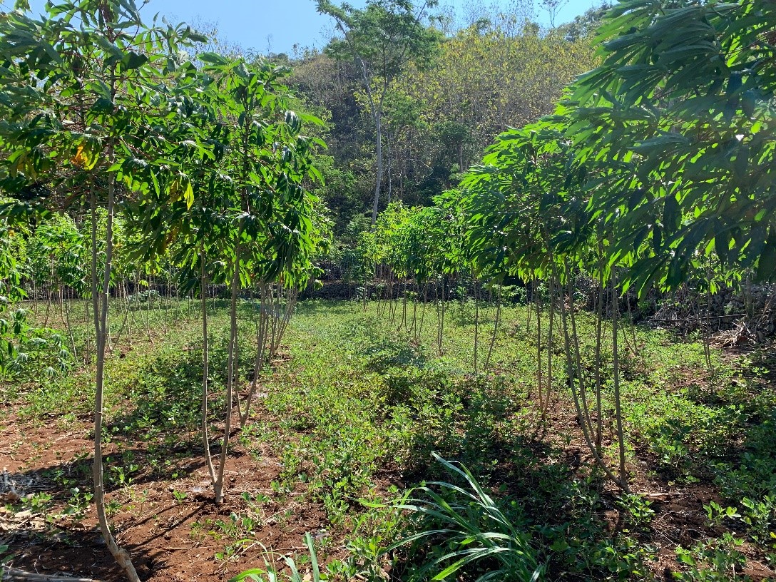
Figure 1 Cassava fields in Giripanggung Gunungkidul
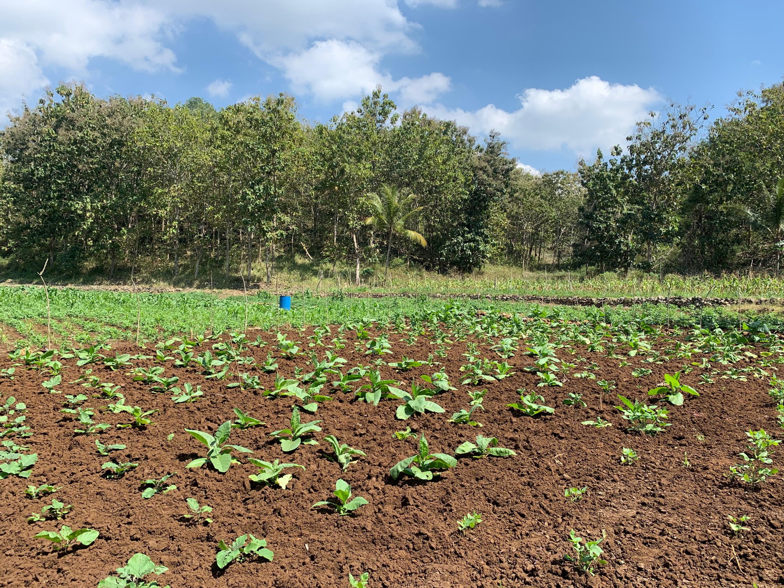
Figure 2 Tobacco fields in Girisuko