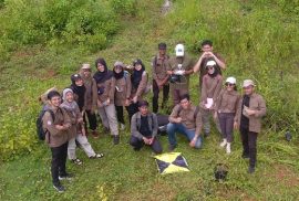
Students of Geo-Information for disaster management for the umpteenth time conducted a field study on Saturday, March 9, 2024. The field study was conducted in Kalisari, Tempuran, Magelang, which is included in the Bompon Watershed. Several materials related to land systems, disasters, and socio-economic conditions were delivered by four lecturers:
1. Dr. Eng. Guruh Samodra, M.Sc.
2. Dr. Arry Retnowati, S.Si., M.Sc.
3. Dr. Indranova Suhendro, S.T., M.Sc.
4. Bondan Galih Dewanto, S.T., M.S.
The field course conducted in this field work and studio module was implemented to accommodate several objectives. The main objective of this course is that students are able to carry out field observations related to research interests in a unit of analysis. In addition, students are also expected to be able to acquire field data using a set of survey tools. There are two survey tools demonstrated, namely Geodetic GPS and Unmanned Small Aircraft System (SPUKTA).