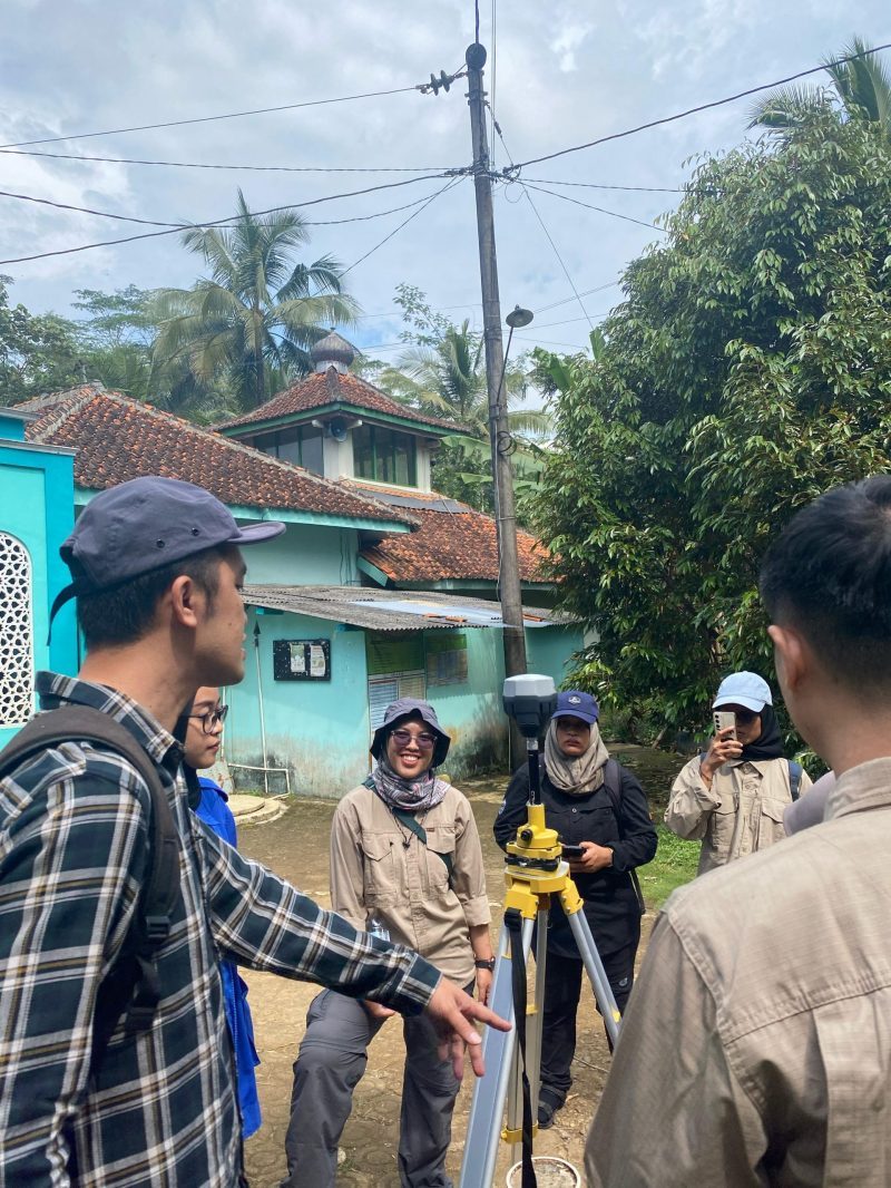
On Saturday, 26 April 2025, Geo-Informatics students specializing in disaster management and spatial planning conducted a fieldwork session in Kalisari, Margoyoso, Salaman, Magelang. The objectives of this fieldwork were to introduce surveying equipment and apply it in practice. The session was supervised by Prof. Dr. rer. nat. Junun Sartohadi, M.Sc., Dr. Eng. Guruh Samodra, S.Si., M.Sc., Dr. Muhammad Anggri Setiawan, S.Si., M.Si., and Dr. rer. nat. Arry Retnowati, S.Si., M.Sc. During the session, students practiced using the Phantom 4 Pro and Mavic 3 Enterprise drones, along with a Geodetic GPS. Aerial photography was conducted by designing flight paths over the study area to capture aerial imagery. Prior to the drone survey, Geodetic GPS measurements were taken to ensure precision correction, resulting in highly accurate aerial photographs.
Arsip:

