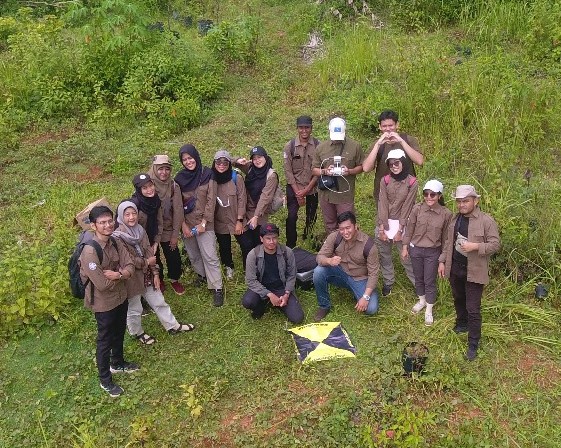
Students of Geo-Information for disaster management for the umpteenth time conducted a field study on Saturday, March 9, 2024. The field study was conducted in Kalisari, Tempuran, Magelang, which is included in the Bompon Watershed. Several materials related to land systems, disasters, and socio-economic conditions were delivered by four lecturers:
1. Dr. Eng. Guruh Samodra, M.Sc.
2. Dr. Arry Retnowati, S.Si., M.Sc.
3. Dr. Indranova Suhendro, S.T., M.Sc.
4. Bondan Galih Dewanto, S.T., M.S.
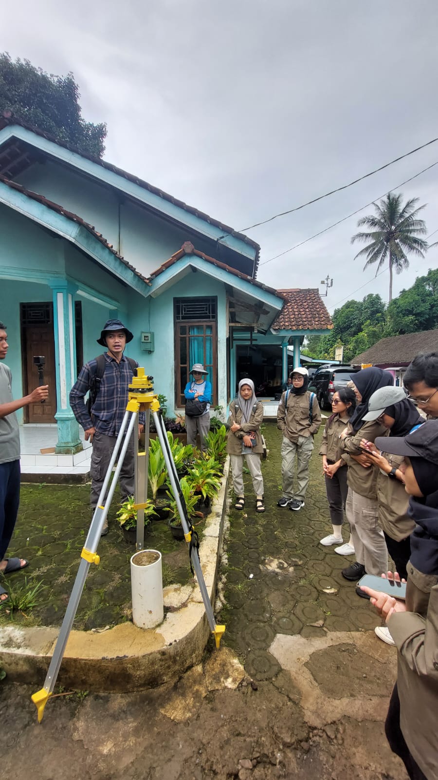
The field course conducted in this field work and studio module was implemented to accommodate several objectives. The main objective of this course is that students are able to carry out field observations related to research interests in a unit of analysis. In addition, students are also expected to be able to acquire field data using a set of survey tools. There are two survey tools demonstrated, namely Geodetic GPS and Unmanned Small Aircraft System (SPUKTA).
In general, field observations were conducted at two stopsites, landslide point and bedrock point. The first stopsite visit allowed students to review the landslide phenomenon based on material, trigger event, and its relation to socio-economic conditions. In this first stopsite, students practically obtained GPS and aerial photography data acquisition materials. Furthermore, at the second stopsite, students were invited to recognize the formation process of thick soil material at the study site. Dr. Indranova explained that there are at least two causes of thick soil in this area, the deposition of material from the eruption of the ancient cleft mountain and the oxidation reaction between bedrock and water. Dr. Guruh also explained that it is possible that there is alteration of the bedrock that can “cook” the rocks into soil material, even though the statement is still a theory.